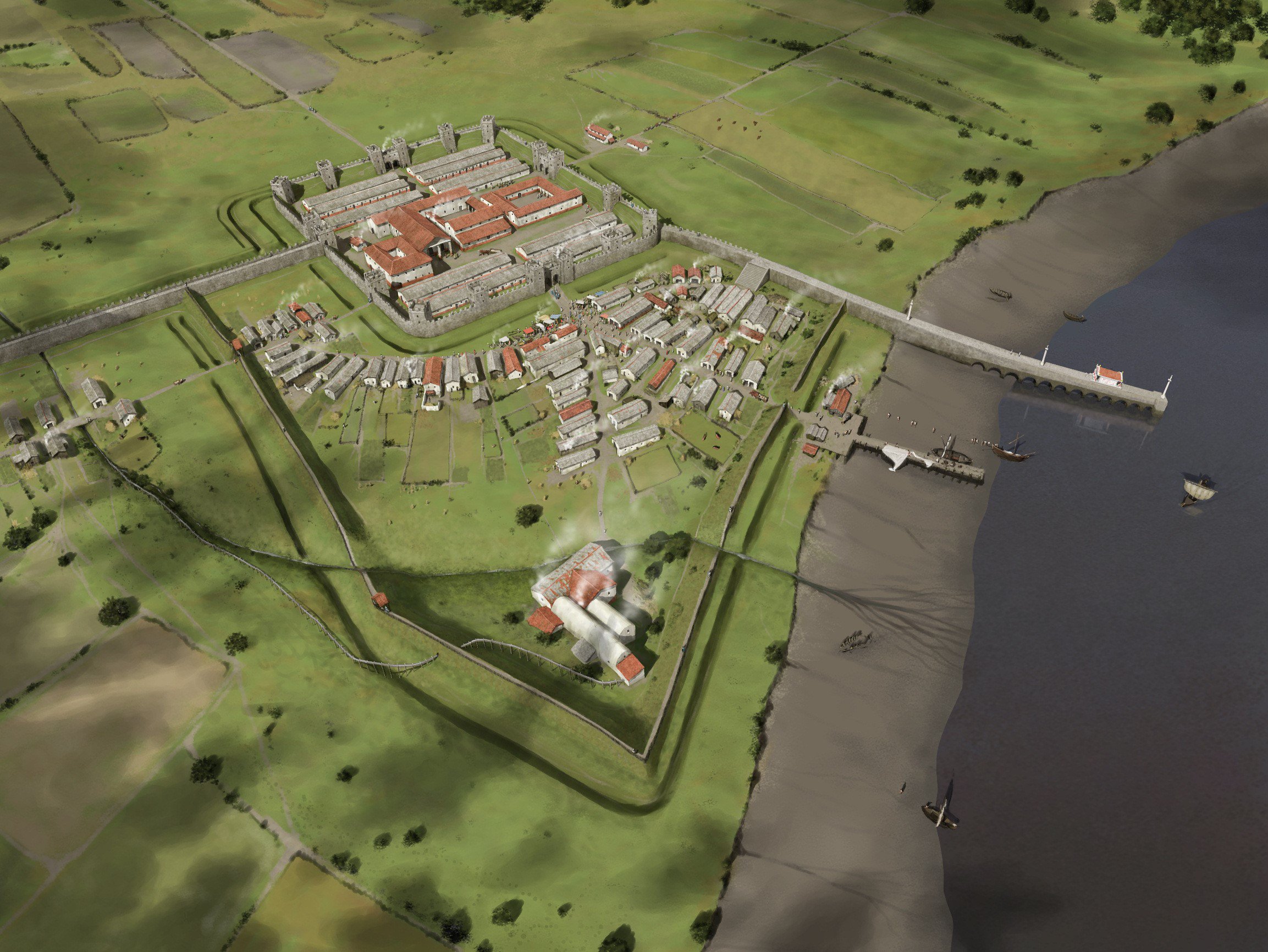
Segedunum - the Fort site
These teacher notes provide a brief history on Segedunum Roman Fort. You can download a copy of these teacher notes below.
Download: Segedunum - the Fort site PDF resource here (881 KB)

Segedunum Fort, a UNESCO World Heritage Site
Segedunum, the Roman fort at Wallsend, marks the eastern end of Hadrian’s Wall. For almost 300 years, the Wall formed the north- west frontier of the Roman Empire.
It is from its Roman past that Wallsend takes its name, but the town is equally famous as a world leader in both coal mining and shipbuilding.
Built around AD124, Segedunum was in fact part of an extension to Hadrian’s Wall, built some five years after the main construction project had begun. The fort is situated on a plateau overlooking the north bank of the River Tyne, at a point where it turns to run to the coast at South Shields. The site was chosen to command views eastwards down the river towards South Shields, and upriver towards Newcastle.
Little is known about prehistoric activity
at Wallsend, but it is clear there was a
farmstead in the area as the site of the fort
was under cultivation immediately before
Roman construction work began. The fields
seem to have been prepared for the growing
season when they were taken over, as freshly
dug furrows were filled in by the Romans to
form a construction platform for the fort.
The fort was occupied for around 300 years. Over this time there were many changes in its plan. Most of the layout that you see here shows the fort plan as it was in about AD 200, when it was garrisoned by a cohort of 480 infantry and 120 cavalry soldiers.
Segedunum is the only place in the Western Roman Empire where a complete ground plan of a fort can be seen.
The fort and Wall sites are protected by law. Segedunum became a scheduled Ancient Monument in 1982 and a World Heritage Site in 1987. In 2005 it became part of the Frontiers of the Roman Empire UNESCO World Heritage Site.


